A Kalynda product
metarandtaf.com — live aviation weather
Every reporting airport's METAR and TAF decoded in plain language, with flight categories, runway crosswind, a seven-day meteogram and a 3D vertical cloud profile per airport — all on one map.
What it does
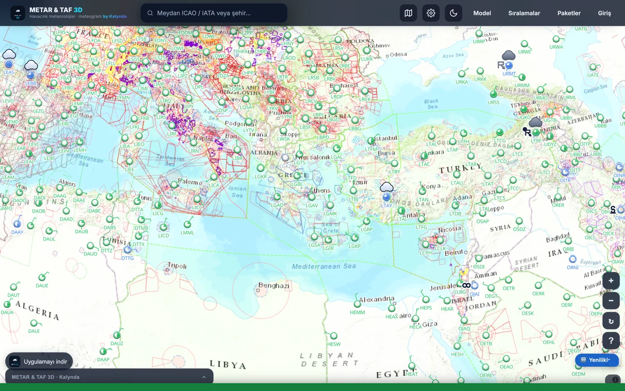
Live map
Reporting airports are coloured by flight category; tap one to open the raw report and its decoding.
Plain-language decoding
METAR and TAF lines are opened word by word — wind, visibility, cloud, temperature, pressure and weather phenomena.
Runway and crosswind
The likely active runway and the crosswind component are worked out from the wind direction.
3D cloud profile
Cloud layers are drawn in three dimensions above the airport, so the ceiling reads at a glance.
Seven-day meteogram
Hour-by-hour wind, visibility, cloud and precipitation from a blend of ECMWF, GFS, ICON, GEM, Météo-France and the UK Met Office.
Online payments are live
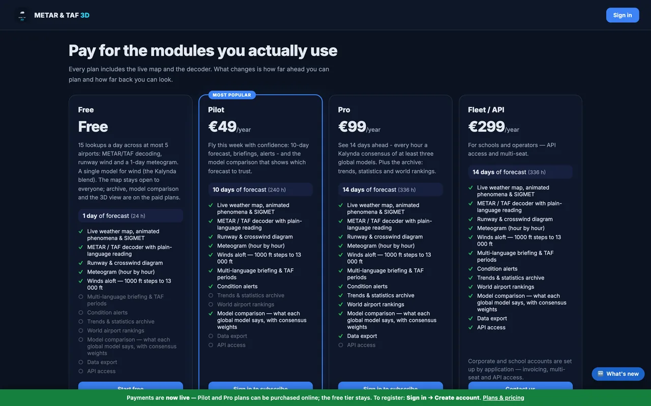
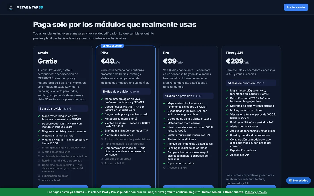
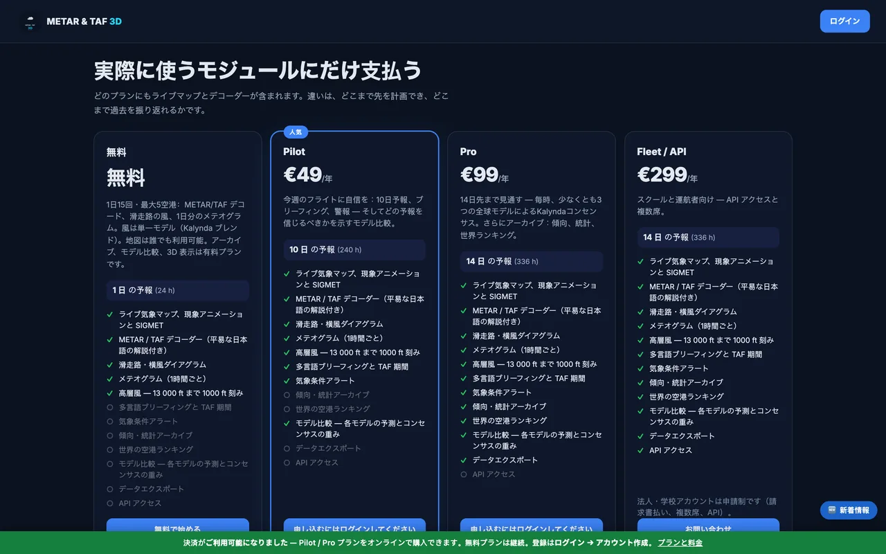
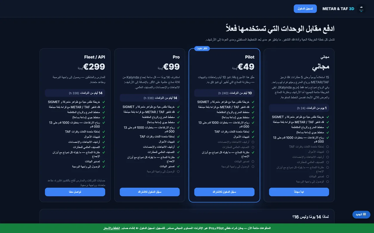
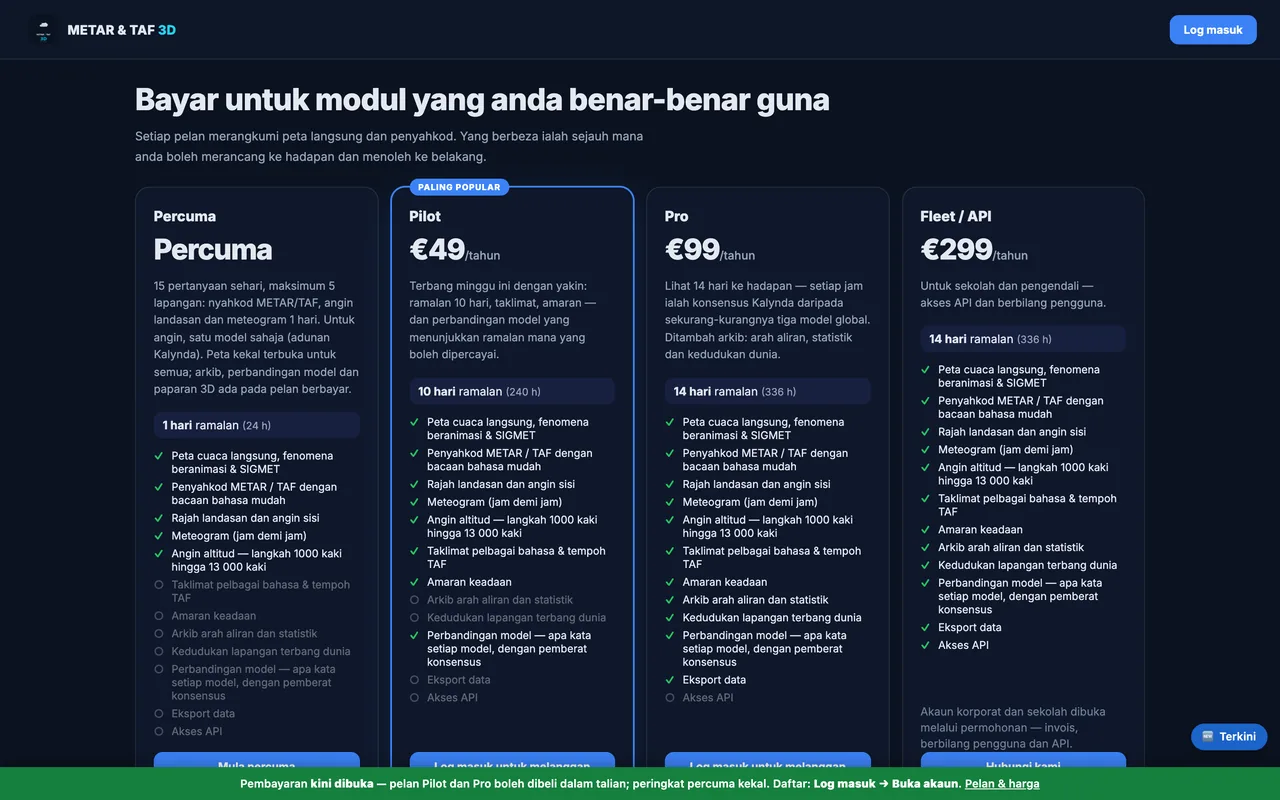
Pilot and Pro plans can now be bought directly online. The free tier stays — the live map and the decoder remain open to everyone.
Live in eight languages
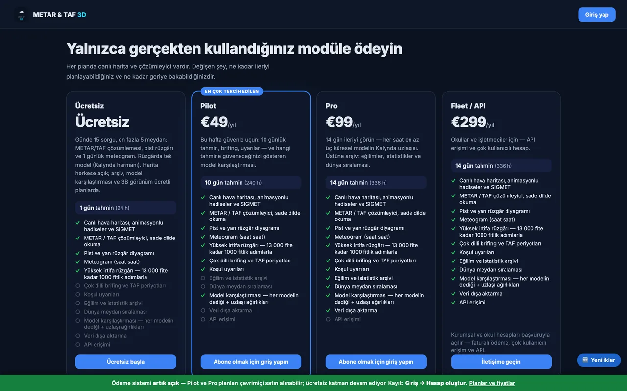
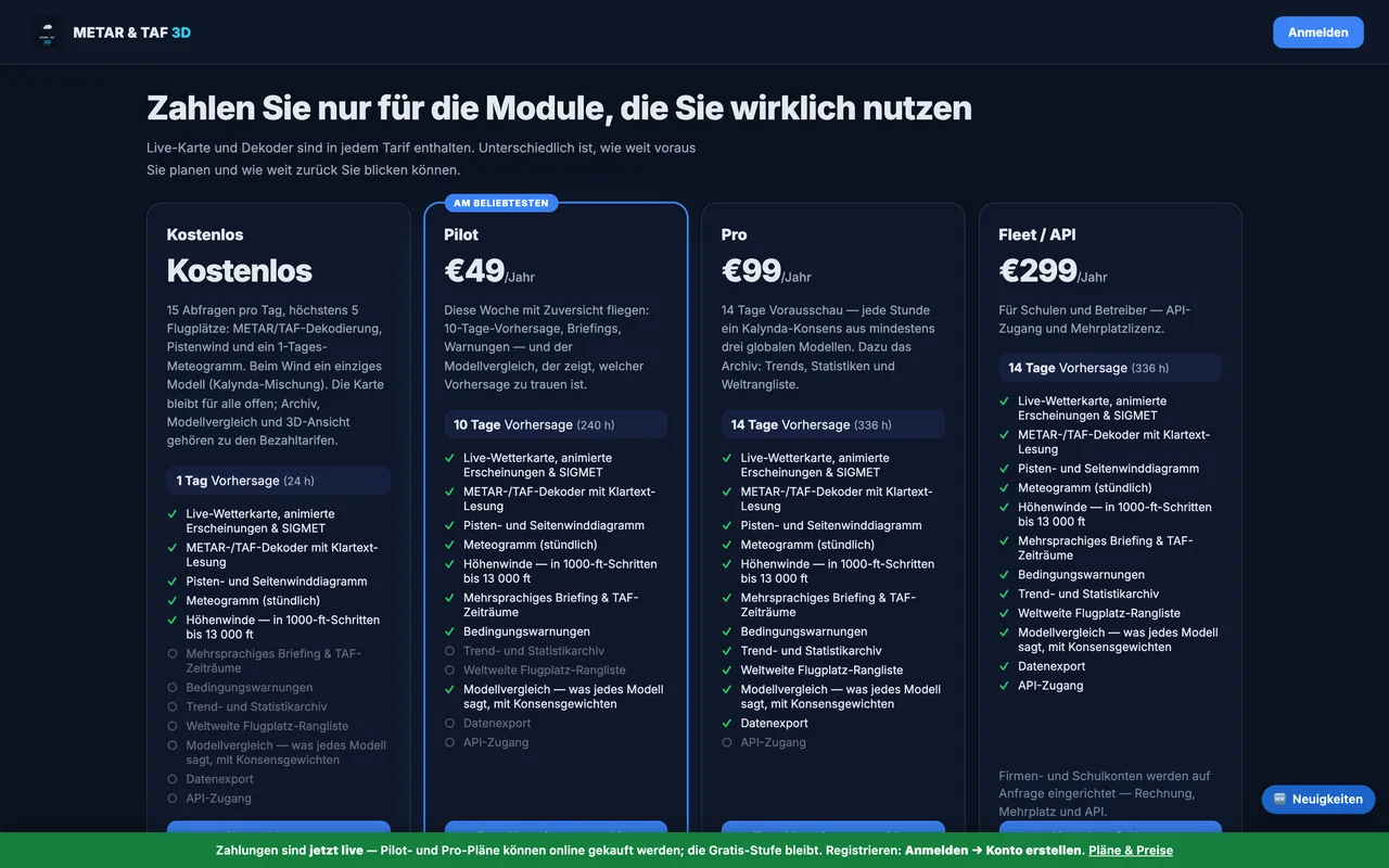
The same pricing page in eight languages: Turkish, English, German, Spanish, Japanese, Chinese, Arabic and Malay.

In your pocket too
METAR & TAF 3D brings the same data to iPhone, iPad and Android — 3D cloud profile, meteogram and runway wind included.