
Pilot Navigation Tools
VFR flight planning and GPS navigation tools
Pilot Navigation Tools brings VFR flight planning and navigation utilities into a single pilot app: route planning, distance and fuel calculation, GPS tracking and aviation calculators. Built by Kalynda Tech, it is live on Google Play, with an iOS version in development.
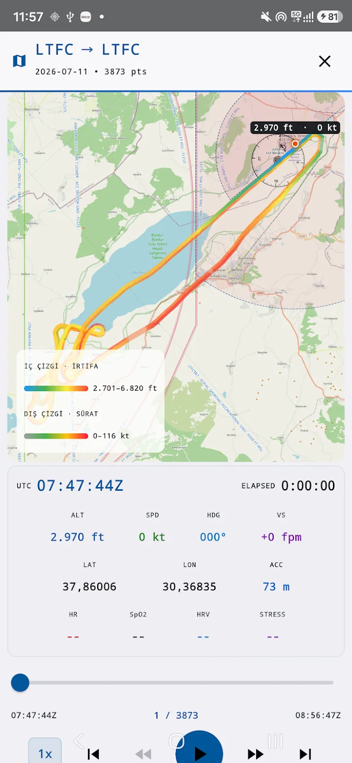
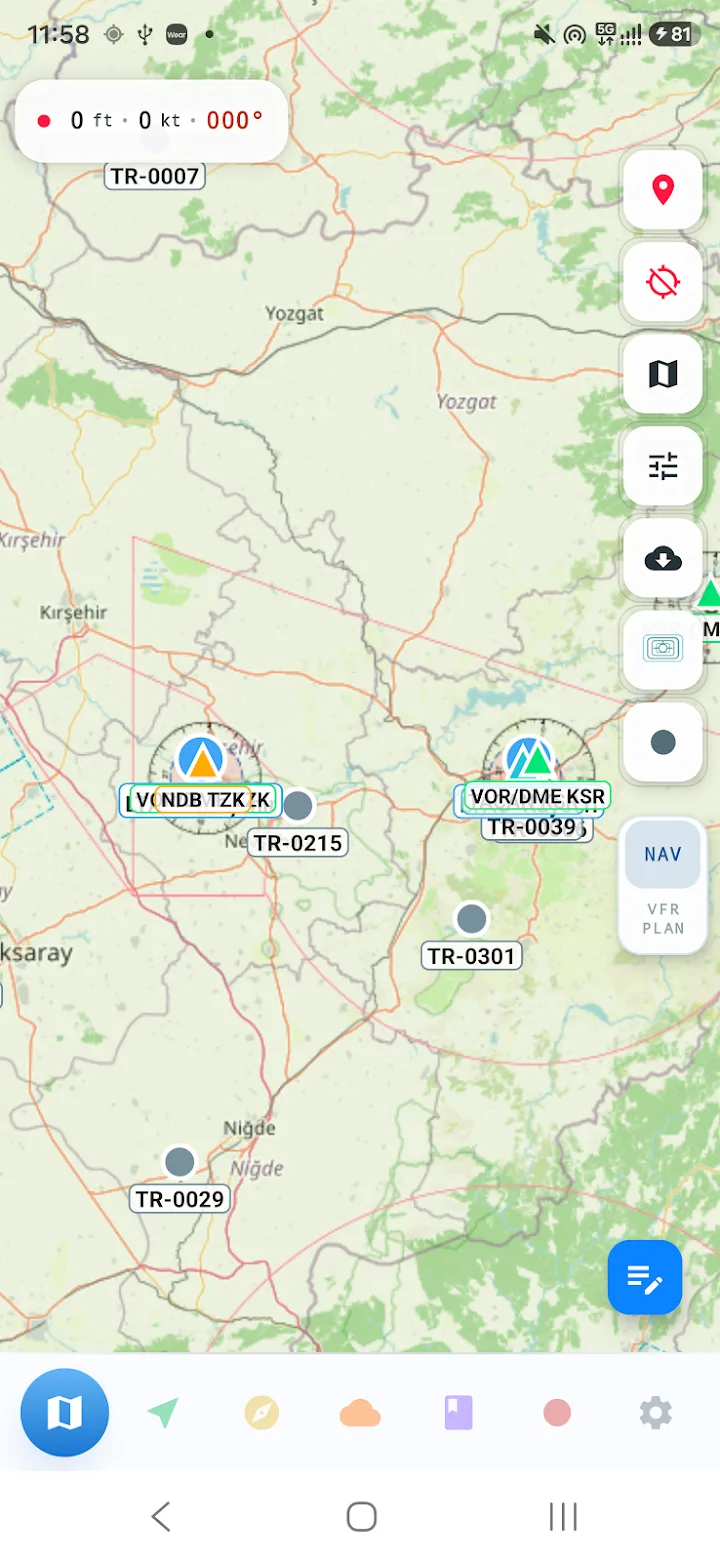
Features
- VFR route planning
- Distance, time and fuel calculation
- Live GPS position and track following
- Aviation calculators (wind triangle, crosswind, conversions)
- Airport information and search
Technology
This product is built and operated by Kalynda Teknoloji Havacılık ve Turizm Ltd. Şti. The same infrastructure is reused in client projects.
Frequently asked questions
Is Pilot Navigation Tools available on iOS?
It is currently live on Google Play. An iOS version is in development and will be announced on this page when it ships.
Is it certified navigation equipment?
No. The app is a planning and situational-awareness aid and is not a substitute for certified navigation equipment.
Other products
Private airport and intercity transfers across Türkiye
A complete guide to all 13 districts of Muğla, Türkiye
METAR and TAF data rendered in three dimensions
Flight tracking for flight schools and operators
Flight logging from the wrist — a Wear OS app
Marine navigation for boat and yacht owners
Let's talk about your project
Based in Dalaman, Türkiye — working across Türkiye and remotely worldwide.