
METAR TAF 3D
METAR and TAF data rendered in three dimensions
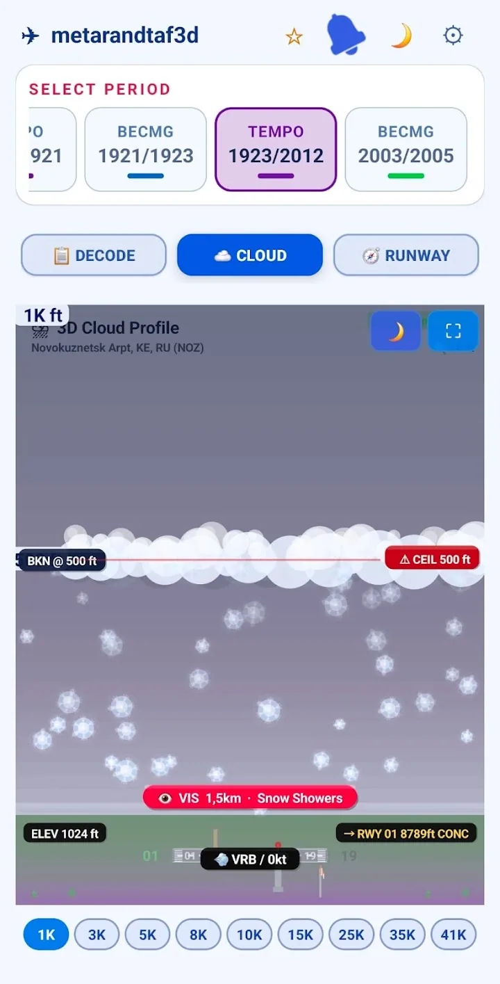
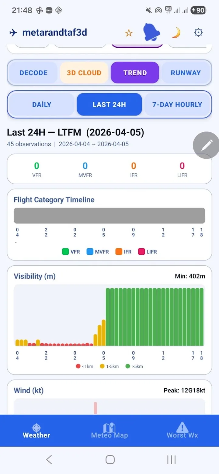
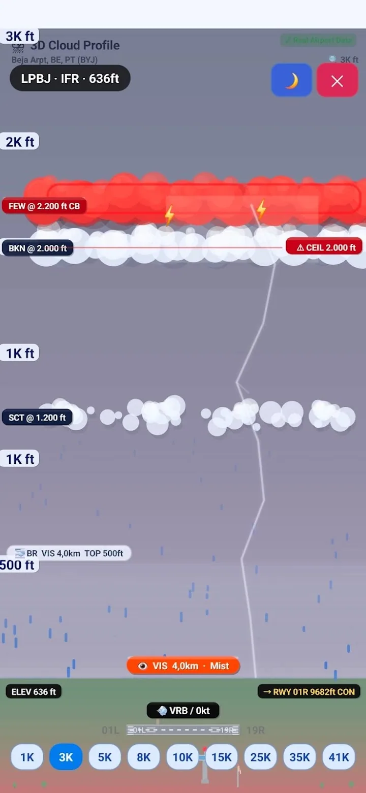
METAR TAF 3D is a pilot application that renders aviation weather reports (METAR and TAF) in a three-dimensional aerodrome scene. Instead of decoding raw report text, you see cloud base, visibility, wind direction and precipitation over the runway. Built by Kalynda Tech, it runs on iOS, Android and the web at metarandtaf.com.
Features
- Live METAR and TAF data
- 3D runway and cloud-profile visualisation
- Wind direction, crosswind and visibility indicators
- Airport search and favourites
- Shareable pre-flight weather card
- Same data source as the web version
Technology
This product is built and operated by Kalynda Teknoloji Havacılık ve Turizm Ltd. Şti. The same infrastructure is reused in client projects.
Frequently asked questions
Who is METAR TAF 3D for?
Primarily pilots, student pilots and flight operations staff. It is also used as a training aid, because it shows student pilots the visual equivalent of the coded METAR/TAF text they are learning to read.
Does the app use official weather data?
Yes, it reads and parses published aviation weather reports. It is a decision-support tool and does not replace an official pre-flight briefing.
Other products
Private airport and intercity transfers across Türkiye
A complete guide to all 13 districts of Muğla, Türkiye
Flight tracking for flight schools and operators
VFR flight planning and GPS navigation tools
Flight logging from the wrist — a Wear OS app
Marine navigation for boat and yacht owners
Let's talk about your project
Based in Dalaman, Türkiye — working across Türkiye and remotely worldwide.